I gathered my hiking equipment (hiking pack, 4L of water, sunscreen stick, bug spray, rain jacket, small first aid kit, poles, and printed map) and drove to the Katsuyama Community Center. This took me just shy of one hour to drive to.
 |
| Awa-dake is the range on the left |
 |
| Local bathroom |
I had to walk up a road, past local farms and orchids to the trailhead. This is what you will see when you get to the trailhead:
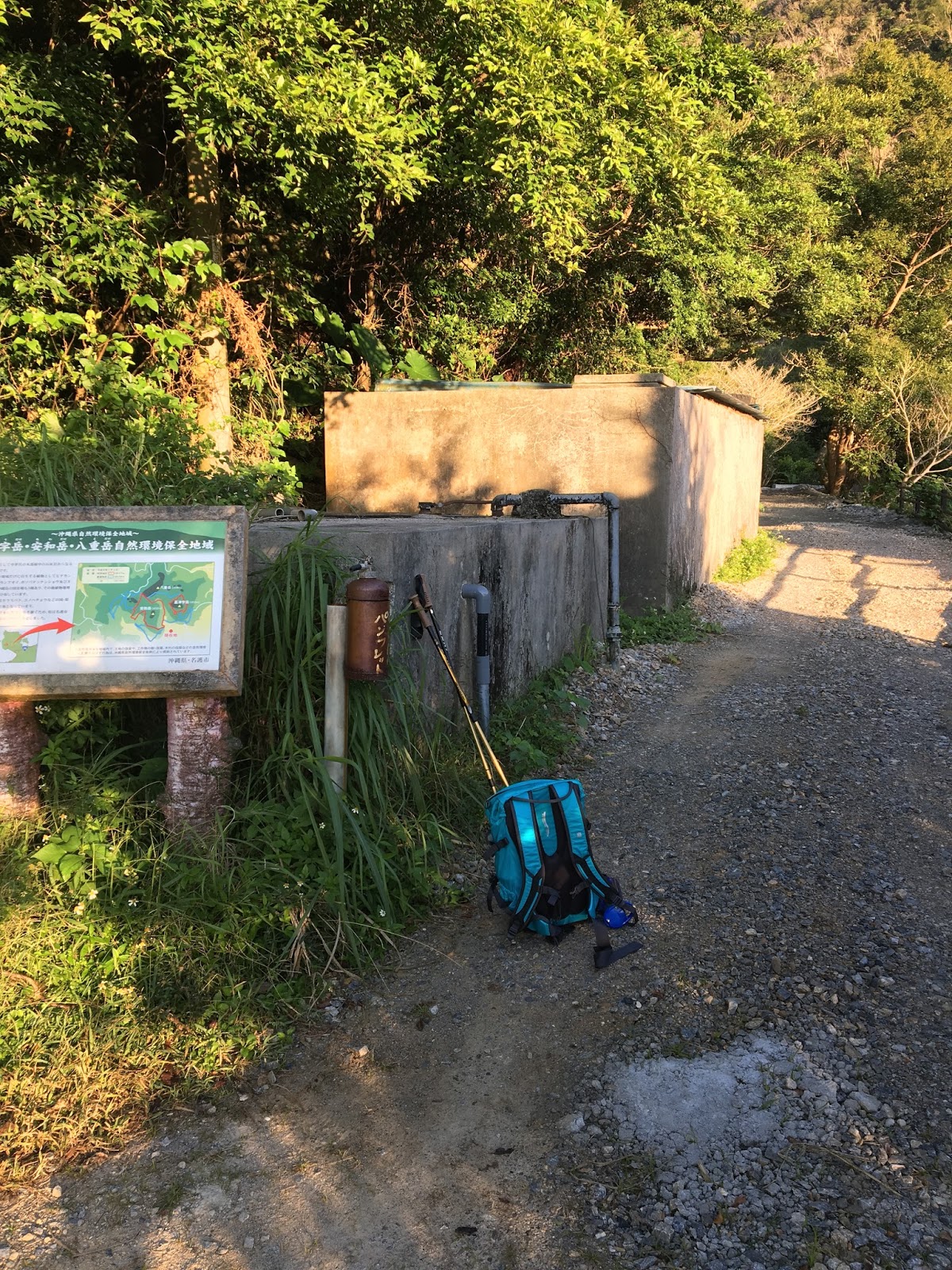 |
| Trailhead |
 |
| Trailhead. Looking at the orchards. |
You walk about 500m amongst the orchards before arriving to the T intersection. At this point you can go left or straight to get to the top of Awa. The website recommended taking the left, thus, this is what I did. If you go right you will go to Furushi-dake. That is a trail I will come back to complete another day!
 |
| The T intersection |
The trail is a consistent upwards climb. This is not for the faint-of-heart. This is a challenging climb for the novice+ hiker. This is not for a beginner hiker, someone with back, knee, or hip issues, or someone who is not in physical shape. You will need hiking shoes. You will need to cart at least 4L of water with you, along with basic supplies. If, within the first 20ish minutes of your upward climb you debate whether you can make it for the next few hours, you should stop and turn around. The trail gets more difficult. In addition, if you are allergic to bees or wasps stay far away. I ran into multiple hives along the way.
You are rewarded with a cave about halfway to the first peak. I didn't get in and explore. I was hiking by myself. The rim of the cave is fragile and I wanted to take no chances of hurting myself or getting stuck. However, I did stop to take some pictures and visually inspect the parts I could see.
 |
| Cave used by WWII soldiers |
There was supposed to be another cave as I headed up to the first peak. However, I missed it. I'll have to look for it next time I go hiking in this area.


 |
| Your first view outside the jungle...at this point you are just a few minutes away from the peak |
 |
| Panoramic view from the first peak |
 |
| First peak! |
 |
| 290m tall |
 |
| One of those rocks looks like a turle |
 |
| That peak is the first peak. I'm looking down at it when halfway to the second peak |
The rocks are very sharp and take careful maneuvering. After another thirty minutes or so I came to the second peak. This one was 432m.
 |
| View from the second peak |
 |
| View from the second peak |
 |
| I'm 432m high |

 Then I started on the downhill trek around to the T intersection. This took me another 45 minutes. Some sections were extremely downhill. Multiple times I had to crouch down, hold onto a tree with one hand, and then leap down to the next rock. Some areas were extremely overgrown...as long as you remain aware of the trail markers on the trees you should be fine. At one point in time the trail markers were becoming extremely thinned out. I went a bit before coming to the conclusion that I think I'd gotten off the trail. Being a smart hiker, I backtracked until the last marker and took the other way that seemed to be a possible trail. About 5 minutes later I found another trail marker and then was back on the path. During the descent I came across (actually scared) 3 local young adults who were hiking up. They were making tons of noise, however, I was not. I turned the corner and "ta-da!". My good morning must have been so convincing that they not only returned the greeting but then started a conversation. I think they were asking how much farther to the top, however, they did not speak English and I can't speak Japanese beyond the basic sayings. We parted ways with smiles and bows instead.
Once I reached the trailhead and started down the road back to my car I ran across the local farmers and orchard workers who were grouped around that area. Again, my good morning in Japanese must be spot on because they started up in conversation with me. Luckily, this time one of them in the group spoke basic English. They asked me if I was doing fine, did I need any more drink, how was the mountain, etc. After parting ways, I walked the 5 minutes back to the car. Which, was still there :)
 |
| They have very big leaves here |

I am glad I went and experienced this amazing hike. The jungle is soothing to walk through and the views I got to experience were awe-inspiring. I will not be taking Caleb and have warned Jack that he might want to stay away due to his history with his knees. I will be back to attempt this again before leaving the island in a few years!
 |
| Awa-dake I climbed to the top of all of that! |

No comments:
Post a Comment